The new EBBA2 website is launched!
February 7, 2022 | alena.klvanova
Interactive online maps
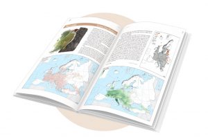
The EBBA2 web version allows the user to browse through the European distribution maps of all breeding birds, zoom in to see details on breeding occurrence and abundance, combine maps of a given species in the same view or travel back to the 1980s to see the distribution in the first Atlas (EBBA1) and how it has changed since then. A selection of multi-species maps is also available to see general patterns of species richness across Europe and how they have changed in the last decades. The species’ drawings shown in the book have been adapted for visualisation on the web thanks to the generous agreement of the many project illustrators. Synthetic information about the breeding status, number of squares and change in distribution since EBBA1 is also available. All maps can be downloaded as image files.
It is important to highlight that the website and the book complement each other. This web version shows all the maps from EBBA1 and EBBA2, including those that could not be published in the book for space reasons. In addition, as a recognition of the financial support provided by hundreds of individual people and organisations during the species sponsorship campaign, their names are also shown on the website. However, species texts and general chapters found only in the book provide additional information that is important for the correct interpretation of the maps.
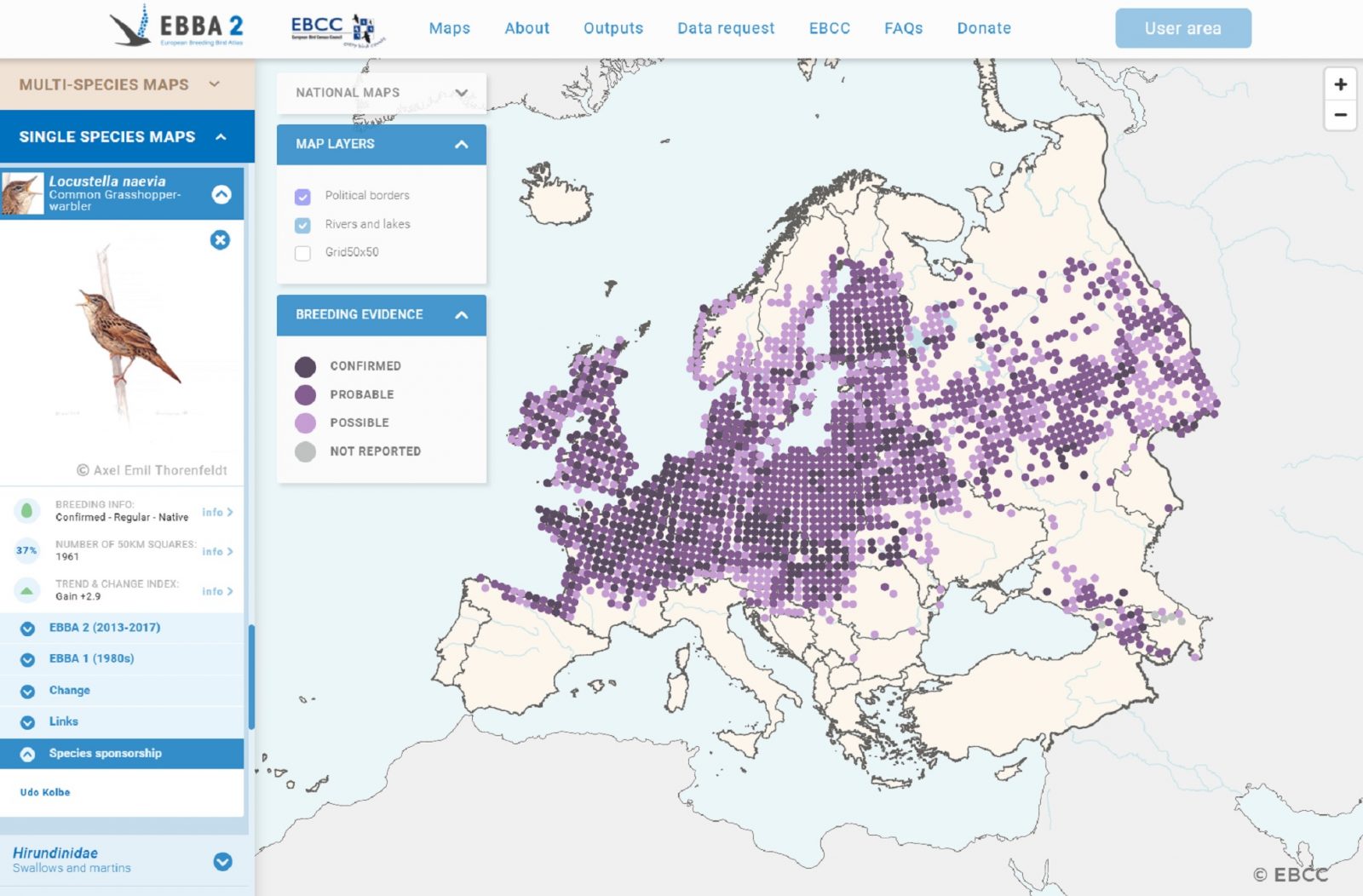
Snapshot of the EBBA2 breeding evidence map for the Common Grasshopper-warbler Locustella naevia, showing one of the maps that were not published in the EBBA2 book for space reasons. This example also indicates the names of the people and organisations that sponsored the species and thus contributed to making the project happen.
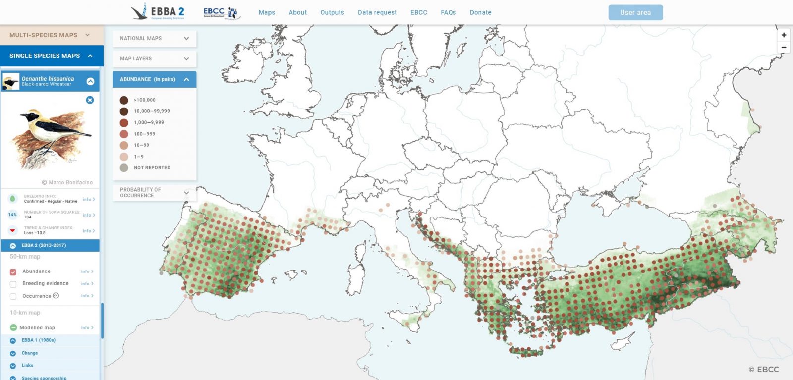
Snapshot of the EBBA2 abundance map combined with the modelled map for the Black-eared Wheatear Oenanthe hispanica. The online version of EBBA2 allows combining 50-km maps with modelled maps for a given species.
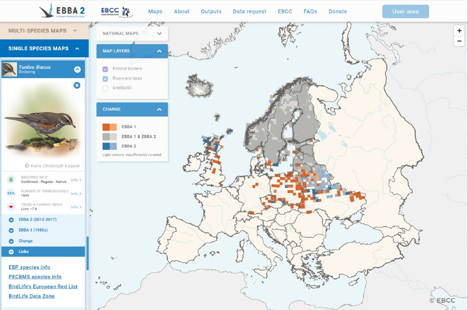
Snapshot of the EBBA2-EBBA1 change map for the Redwing Turdus iliacus. This example also shows that the left panel has direct links to complementary species information found on other websites.
Information on EBBA2
Three different sections of the website will provide helpful guidance for users: About, Outputs and FAQs. About provides information on the organisation of the EBBA2 project (including the main sponsors, methodology, results and the book), as well as on the EBBA1 project and the recent national atlases published in Europe. Outputs show examples of products that have already used the EBBA2 data in atlases, research papers, technical reports and popular articles. Finally, FAQs provide information for the proper use and interpretation of the EBBA2 data.
A platform to request EBBA2 data
The EBBA2 project received bird distribution and abundance data from atlas coordinators in European countries/territories. These data have been used to create the book and the web version, but the EBCC also wishes to encourage the use of this data for research, policy and conservation. In addition, the EBCC is, on behalf of its partners, responsible for the proper use and interpretation of the data and the recognition of their ownership and of the importance of the communities of ornithologists that made EBBA2 possible.
In this context, the EBCC offers free access to 50-km occurrence data under a Creative Commons licence. Other types of EBBA2 data (indicated with © EBCC) can be provided by approval by the EBCC and its partner organisations, depending on the data access policy agreed by EBCC and its partners. Data can be requested directly through the website. Depending on the characteristics of the request, data handling fees may be charged. Open access data can be downloaded directly, while non-open access data will be downloadable once approved.
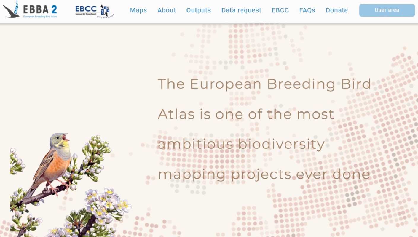
The European Breeding Bird Atlas is one of the most ambitious biodiversity mapping projects ever done. A collaboration across political borders strengthened a network of 120,000 people and organisations working together in one of the most significant citizen science projects on biodiversity.
See how this was done, and do not hesitate to consider your potential contribution to the EBCC monitoring network.
This website complements the book but does not substitute it at all. Species texts and general chapters provide additional information necessary for interpreting the maps. The book is available directly from Lynx.
The new website was made possible thanks to a grant from the MAVA Foundation.