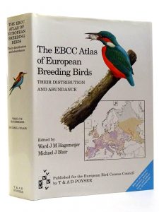
EBCC Atlas of European Breeding Birds
The first comprehensive EBCC Atlas of European Breeding Birds, or European Ornithological Atlas (EOA), edited by Ward Hagemeijer and Mike Blair, was published in 1997. The atlas is the first major initiative of the EBCC (itself created through the merging of the European Ornithological Atlas Committee and the IBCC) and integrates 25 years of effort by thousands of volunteer field ornithologists, data analysts, and writers in more than 40 countries. The final product is an impressive and voluminous book with more than 900 pages of distribution maps for 495 European bird species, accompanying text and information on the population size estimates for key countries where it is present. The area covered includes all of Europe, including Madeira, the Azores, Iceland, Svalbard, Franz Josef Land, and Transcaucasia) although not Turkey or Cyprus. The atlas demonstrates what can be achieved through broadscale international cooperation and has been and remains an essential tool for scientists and conservationists interested in studying the patterns of distribution and abundance of Europe´s birds.
 EBBA1 maps online
easily accessible to a wide audience, all distribution maps can be viewed online. The 50-km species distribution maps (abundance, breeding evidence, and occurrence) can be displayed via EBBA2 map viewer. You can also display EBBA1 vs. EBBA2 change. Change maps show squares where the species was found in the EBBA1 or EBBA2 periods or both. Light colours show areas insufficiently covered in one or the two atlases according to analyses based on the reported information on survey completeness and observed species richness. A vast area in Eastern Europe was excluded entirely from these maps.

 The recommended citation for the atlas remains Hagemeijer, E.J.M., and M.J. Blair (editors). 1997. The EBCC Atlas of European Breeding Birds: their distribution and abundance. T & A.D. Poyser, London.
Obtaining the atlas data:
The underlying database from which the distribution maps are derived is associated with the atlas. Over the past 10 years, various researchers and conservationists have used the atlas data for purposes ranging from estimating hotspots of species occurrence to predicting the effects of climate change. The use of the data is administered via the EBCC Executive Committee, and the data extraction and handling are currently done by staff at SOVON in the Netherlands or the BTO in the UK, according to agreed rules. There are countless possibilities for using this valuable dataset, and those interested should contact the EBCC Chair EBCC-chairman about the conditions for obtaining the data. The Executive Committee will review requests, and there are usually costs for its provision and to cover data handling. EBCC Atlas of European Breeding Birds data is now available in UTM or GIS format.